- Play areas x 9 across the Parish :
MUGA at Wood Lane
Queen Street play area and BMX track, skate park and outdoor gym
Miles Green play area including outdoor gym
Alsager Road Play area
Albert Street Play area
Scot Hay Play area
Alsagers Bank play area
Halmer End play area
Bignall End Road play area
(note Aspire maintains the Wood Lane play area)
- Car parks x 4 :
Butchers Arms
Halmer End High Street x 2
Miles Green Station Road
Alsager Road
(note we are in the process of negotiating a lease to take on the car park by Tescos)
- Bus shelters x 6 (note the remaining are provided by Newcastle under Lyme Borough Council)
- Seats x 72 across the Parish
- Notice boards x 7 across the Parish
- Footpaths within land in the ownership of the Parish Council
- CCTV cameras in public places x 9 – Church Street, Hall Street, Alsager Road Play Area, Albert Street Play Area, Bignall End Road Play Area, New Road, Halmer End Play area, Queen Street Play Area
- Audley Bowling Club (building), Church Street
- Allotment sites x 2 (Halmer End and Audley)
- Margarets Garden, Audley
- Blue Bell Woods, Alsagers Bank
- Access land at Podmore Hall Cottage (Scot Hay)
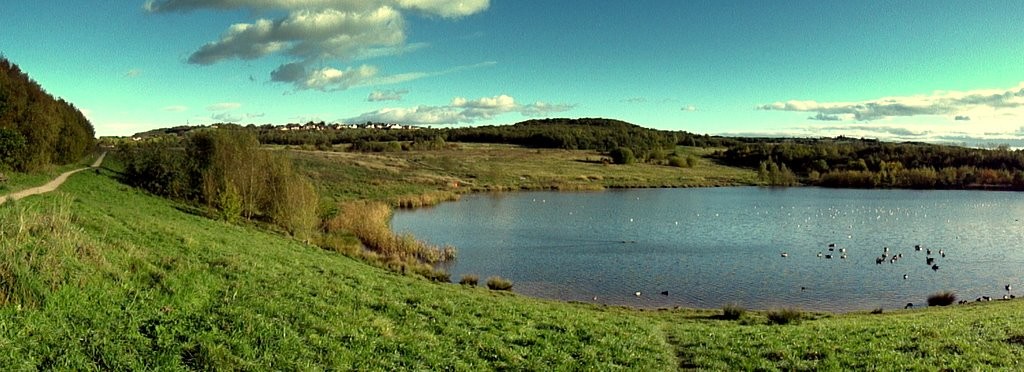
- Leddys Field Wildlife area and ponds, Audley
- Pit wheel Memorial at Church Bank, Audley
- The Cenotaph at Audley (opposite St James Church)
- The Cenotaph at Alsagers Bank (next to St Johns Church)
- The Red Phone Box at Scot Hay
- Speed Indicator Devices x 7 located across the Parish
- Grit bins x 15 located at various places (where Staffs County Council will not locate one)
- Christmas decorations in Church Street Audley, Ravens Lane Bignall End, High Street Halmer End
Find out more information about the flagship project Leddy’s Field.